Longitudinal School Attendance Boundaries Study (LSABS)
LSABS is a novel data collection effort that aims to collect longitudinal data on school attendance zone boundaries from as many school districts as possible across the country. Co-led by Dr. Erica Frankenberg and Dr. Christopher Fowler, the project will lead to a database of attendance zone boundaries from 1990 to 2020, which will be made available to the public for research. The project has received funding from the National Science Foundation and Penn State University. Watch the short video below to learn more.
Upon completion of the project, we aim to produce a publicly available data source that captures boundary changes from 1990 to 2020 for a national sample of K-12 school districts. Among other uses, the new database can help enrich our understanding of the relationship between school and housing patterns, especially allowing for analysis of the changes in school and neighborhood demographics over time. It can also provide a new option for researchers to use as a proxy for “neighborhoods” in demographic research. While census tracts or block groups have traditionally been used to approximate “neighborhoods,” school zones may more accurately reflect the way people think of their own communities. Furthermore, we plan to share findings with participating school districts, educators, and advocates as we hope this can support schools and school districts as they work to promote educational opportunity for all their students, including lessons learned from other districts about attendance zone boundary changes.

Christopher Fowler
Principal Investigator

Erica Frankenberg
Co-Principal Investigator
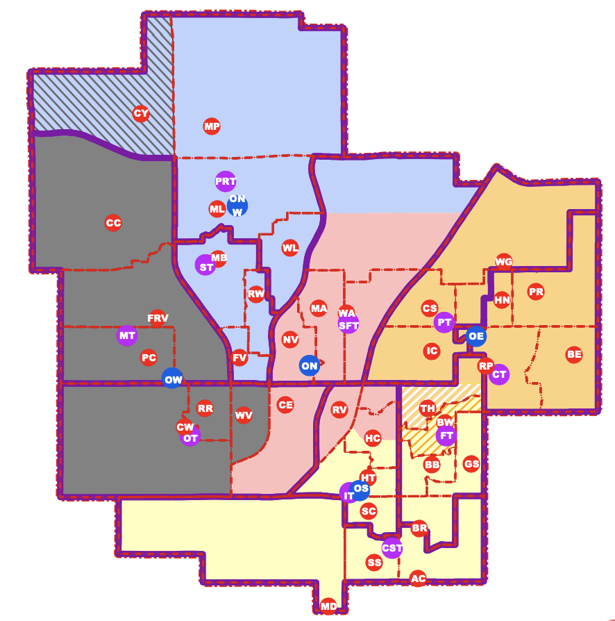
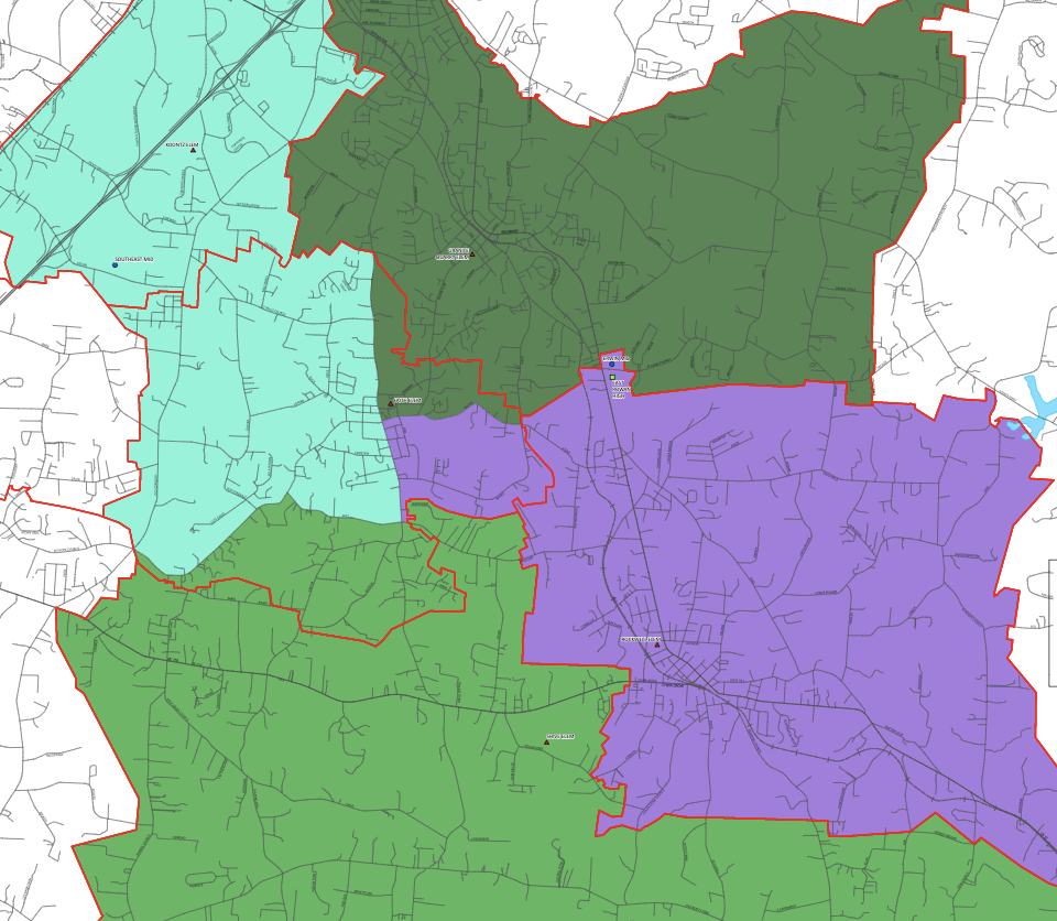
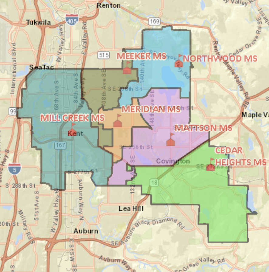
Attendance zones (e.g., school zones, catchment areas) are the invisible boundaries that determine a student’s assignment to attend a public school. These lines are a critical determinant of education quality and equity, and a key driver in forces that shape residential sorting processes. As demonstrated in a popular Vox article from 2018, such changes have the potential to create school populations that are more, less, or equally as segregated as the surrounding neighborhoods.
Despite the role that school attendance zones play, it is remarkable that little information exists on when, if, or how school districts have changed attendance zone boundaries in recent decades. While national-level data on attendance zone boundaries exists in the School Attendance Boundary Survey (SABS) and the School Attendance Boundary Information System (SABINS) spanning 2009 to 2016, these data lack information from as early as 1990 and ended in 2016. To date, there exists no centralized location of longitudinal, large-scale AZB data, limiting research, policy, and practice furthering this important aspect of education equity across the U.S.
Data Access and the Study of Educational Equity: Implications from a National School Boundary Data Collection Effort
Author's final verion. Article was accpted for publication at Education Finance & Policy: https://doi.org/10.1162/edfp_a_00388

